Crossing the Pyrenees: coast to coast on the mountain roads
Seven days from Hendaye to Cerbère over the Tourmalet, Aubisque and Envalira, dipping into Spain and Andorra - our route, the col heights, and the rules that changed in 2026.

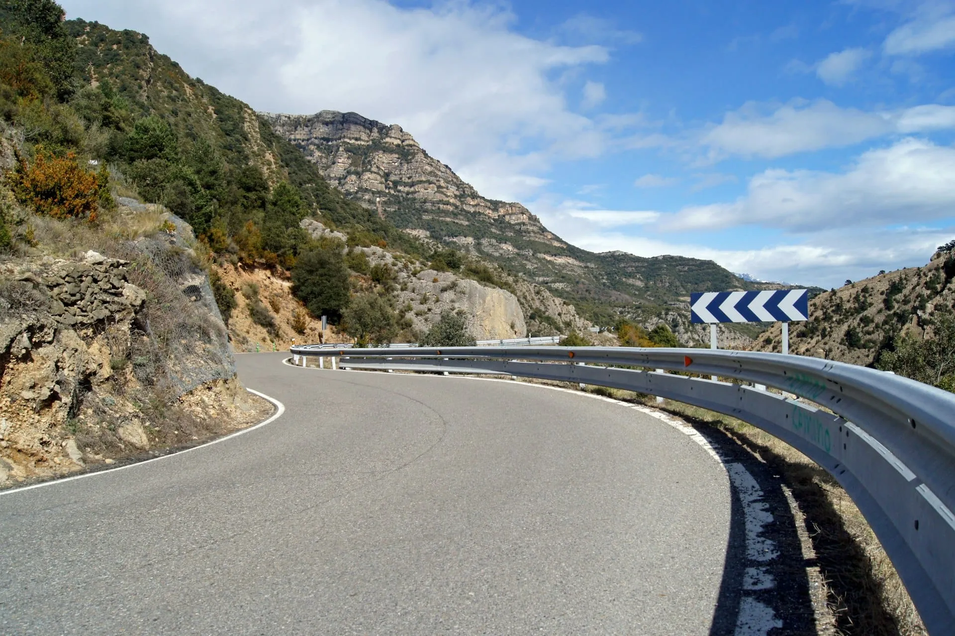
The Pyrenees are lower than the Alps and much emptier. We spent seven days driving them from the Atlantic at Hendaye to the Mediterranean at Cerbère, roughly 900 km, and never once queued behind a coach. Here is the route, with the numbers that matter: pass altitudes, when the cols close, and the equipment and toll rules on the French, Spanish and Andorran sides.
The route: Hendaye to Cerbère in seven days
The spine of the drive is the French Route des Cols, the old spa road linking the thermal towns of the range, but we crossed into Spain twice and Andorra once, because the southern side has the emptiest roads and the cheapest fuel. Distances are what our odometer showed.
Start on the beach at Hendaye and climb straight to the Col d'Ibardin, a 317 m warm-up on the Spanish border. Then Basque back roads through Saint-Jean-Pied-de-Port and the Col d'Osquich to Oloron-Sainte-Marie and the Ossau valley. Sleep in Laruns.
The big day. Col d'Aubisque (1,709 m) first, with the exposed ledge road to the Col du Soulor, then down to Argelès-Gazost, up the gorge to Luz-Saint-Sauveur and over the Col du Tourmalet at 2,115 m. We left Laruns at 7 am and had the Aubisque to ourselves. Overnight in Sainte-Marie-de-Campan.
Col d'Aspin (1,489 m) and Col de Peyresourde (1,569 m) are gentler than the Tourmalet and prettier, all beech woods and cows. Coffee in Bagnères-de-Luchon, then the Col du Portillon (1,293 m) drops you into the Val d'Aran. Vielha is a good base with proper supermarkets.
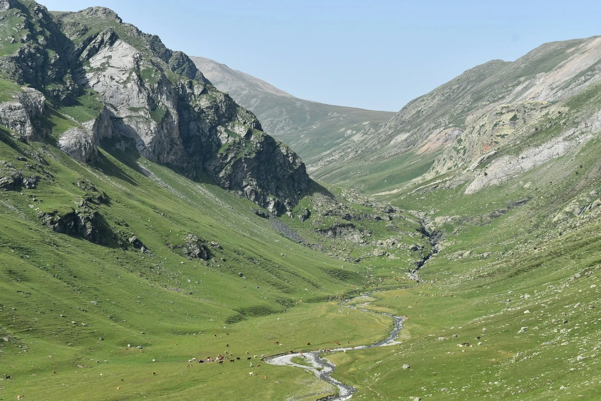
Over the Port de la Bonaigua (2,072 m) and along the toll-free, near-empty N-260 through Sort to La Seu d'Urgell. Two nights around Andorra la Vella: fuel up, walk the Ordino valley, and take the Port d'Envalira (2,408 m), the highest paved pass in the range, rather than the tunnel if the sky is clear.
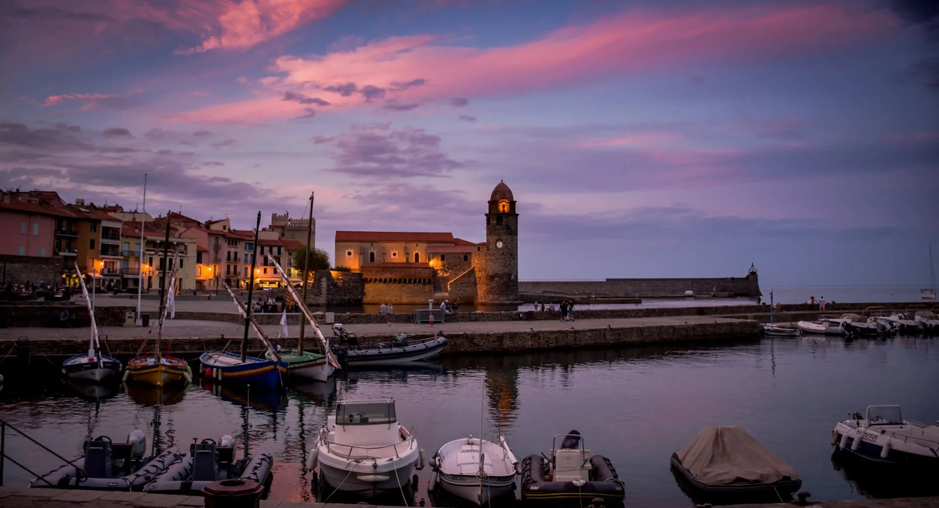
Col de Puymorens (1,915 m) down to Ax-les-Thermes, then the narrow Col de Pailhères (2,001 m) into the Capcir plateau and Mont-Louis. The last day rolls through Villefranche-de-Conflent, under the Canigou, past Céret to Collioure and the cliff road to Cerbère.
When the cols are open, and how to check
The high French passes close for the winter. The Tourmalet road between Barèges and La Mongie shuts once the snow arrives, usually early December, and in recent years has reopened between early May and early June, sometimes closing again for a few days after a late fall. The Aubisque follows a similar rhythm. Soulor, Puymorens and Envalira are cleared year-round, though Envalira shuts in storms and the tunnel becomes free while it does.
The Hautes-Pyrénées department runs InfoRoute65, an official map showing every col in the department as open or closed, updated twice a day in winter. We checked it each morning over coffee. The other departments publish their own road-status pages, and the signs at the valley bottom are accurate.
Pyrenees crossing, the figures (2026)
- Col du Tourmalet
- 2,115 mClosed roughly December to late May / early June; check InfoRoute65
- Port d'Envalira (Andorra)
- 2,408 mHighest paved pass in the Pyrenees; tunnel alternative
- Envalira tunnel toll, car
- €8.102026 rate; free while the pass is closed by weather
- French winter equipment rule
- 1 November to 31 March3PMSF winter tyres, or chains / socks in the car, in signed mountain communes
- Spain, breakdown signalling
- V-16 beacon since 1 January 2026Foreign-registered cars in international circulation may still use triangles
- Spanish motorways in Catalonia
- Toll-free (AP-7, AP-2 since September 2021)The AP-8 along the Basque coast still charges
Source: official sources listed below; confirm current dates and prices before you go
Three countries, three sets of rules
France first. Under the Loi Montagne, any car in the signed mountain communes of the Pyrenees between 1 November and 31 March must have four winter tyres with the 3PMSF snowflake mark, or chains or snow socks on board. M+S tyres alone no longer count. We crossed in October, outside the window, but the cols above 2,000 m can already ice at dawn, so we carried the socks anyway.
Spain changed its breakdown rule on 1 January 2026: Spanish-registered cars must now carry a connected V-16 flashing beacon instead of warning triangles. The DGT has confirmed that a foreign-registered car in international circulation is fine with triangles or whatever its home country requires, so you do not need to buy one for a holiday. Hi-vis vests for everyone who steps out of the car are still expected on both sides of the border.
Andorra is not in the EU. Your insurance certificate or Green Card should list AD; most do, but check before you rely on it. Speed limits top out at 90 km/h, and the border queue at Pas de la Casa on a Sunday afternoon can add an hour.
What we would change
We would add a day: the Val d'Aran and the Capcir both deserved a walk we did not have time for. We would skip the Envalira tunnel entirely, since the pass road is wide, well surfaced and worth every metre. And we would still go in October. The beech woods on the Aspin were turning, the campsites were half empty, and the Tourmalet was open, cold and ours.
Sources & further reading
We check the facts in this guide against official sources and note when we last updated it.
Questions we get asked
When is the Col du Tourmalet open to cars?
Normally from late May or early June until the first heavy snow, usually early December. The exact dates change every year and the road can close again for a few days after a spring snowfall. The Hautes-Pyrénées department's InfoRoute65 map is the official place to check; the sign at the bottom of the valley is updated at the same time.
Do I need a V-16 beacon to drive in Spain with a foreign car?
No. Since 1 January 2026 Spanish-registered cars must carry a connected V-16 beacon instead of triangles, but the DGT has confirmed that foreign-registered vehicles in international circulation comply if they carry the triangles or equivalent device required by their own country. Keep your triangle and hi-vis vests where you can reach them.
Is it better to drive the Pyrenees on the French or the Spanish side?
Mix them. The French side has the famous cols and the thermal towns; the Spanish side has emptier roads, the toll-free N-260 and cheaper fuel and food. Our route crossed the border three times and that felt right. In shoulder season the Spanish side is also more likely to be snow-free.
Keep reading
Routes
A week in the Dolomites by car
Seven slow days on the Great Dolomite Road, from Bolzano to Cortina and up to the Tre Cime - plus the booking rules that now decide whether you get up the famous roads at all.
Routes
Up the Atlantic in a van: Portugal to Brittany in three unhurried weeks
Following the coast north from Lisbon to the granite headlands of Brittany - surf towns, pine forests and where we actually slept, in a route built for a slow van.
Country guides
Driving in France: tolls, Crit'Air and the good roads
What the autoroute actually costs, why a sticker you order by post decides whether you can enter Paris or Lyon, and the free roads we take instead when the day allows it.